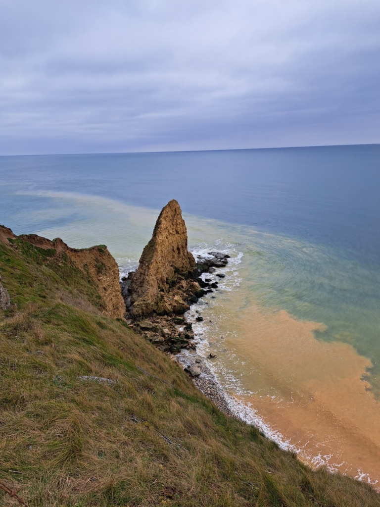
Coastal erosion at the Pointe du Hoc
Importance of Pointe Du Hoc on D-Day
The D-Day assault on Pointe du Hoc was a crucial part of the Allied invasion of Normandy on June 6, 1944, during World War II. Pointe du Hoc was a strategic location because it provided a clear view of the surrounding area and was believed to be the location of several large German guns that could pose a threat to the Allied forces.
The assault was carried out by the United States Army Ranger Assault Group, a specially trained unit tasked with scaling the steep cliffs and attacking the German defenders. The Rangers faced heavy resistance from the German defenders, who had fortified the area with machine gun nests, barbed wire, and other obstacles.
Despite the difficult conditions, the Rangers managed to climb the cliffs using ladders and ropes, and eventually reached the top. Once there, they engaged in fierce hand-to-hand combat with the Germans, who fought back with grenades and other weapons.
The Rangers eventually secured the site and destroyed the German guns, but not without sustaining heavy casualties. Of the 225 Rangers who participated in the assault, only 90 survived. The battle at Pointe du Hoc was a critical success for the Allied forces, as it eliminated a major threat to the invasion and helped to secure a foothold in Normandy.
The assault on Pointe du Hoc is now remembered as one of the most daring and difficult operations of the D-Day invasion. The site is an important historical landmark and serves as a reminder of the bravery and sacrifice of the soldiers who fought there.
It would be a great loss if it was to disappear into the Atlantic forever.
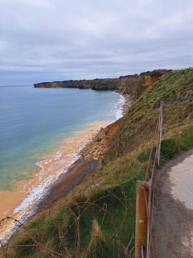
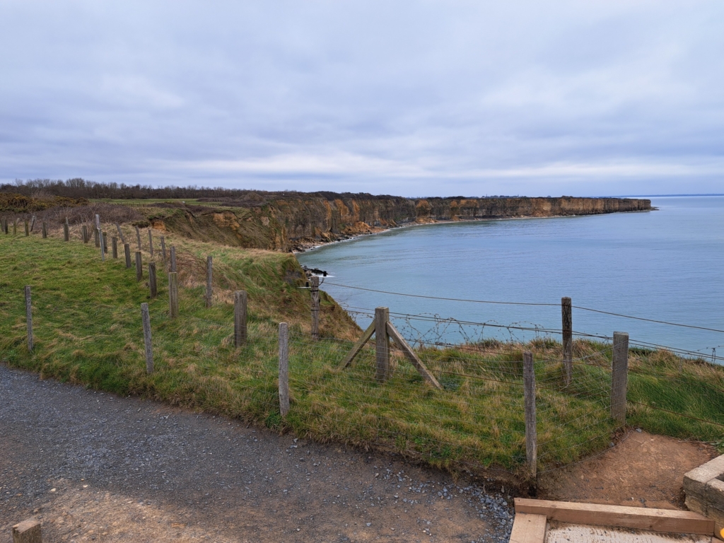


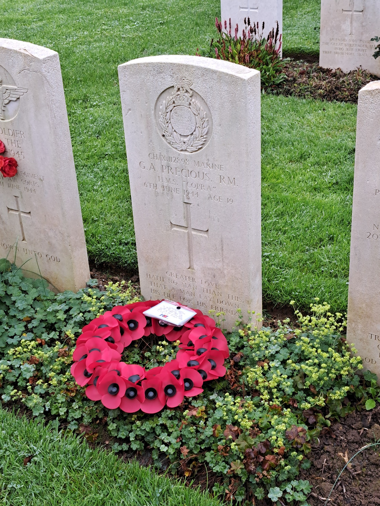


Yes I agree, only been going there for the last 12 years,
But I’ve noticed and compared previous years photos, and it’s eroding fast lately. Could you point me to maps of how it was when the landed?
Regards matt